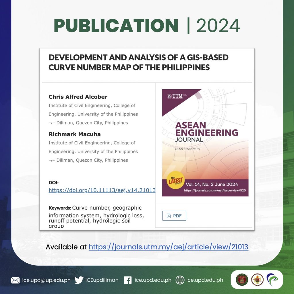
Asst. Prof. Richmark Macuha and Chris Alfred Alcober (BSCE graduate) recently published their paper “Development and Analysis of a GIS-based Curve Number Map of the Philippines” in the ASEAN Engineering Journal Vol. 14 No. 2.
Using geographic information system (GIS) tools, the Philippine Curve Number (CN), a hydrologic parameter, map is developed by preprocessing and intersecting land use and land cover (LULC) and hydrologic soil group (HSG) with the CN look-up table. The outputs of their study provide access to spatially varied local runoff potential data in GIS format thus allowing direct GIS use for the swift simulation of flood damage mitigation models, among others.
Asst. Prof. Macuha is a member of the Water Resources and Coastal Engineering Group of UP ICE.
Read the full paper here: https://journals.utm.my/aej/article/view/21013


